|
 |
Tours
Technical Tour
Monday, May 5, 2008
1:00 p.m. to 4:00 p.m.
Cost: $40 (CAD)
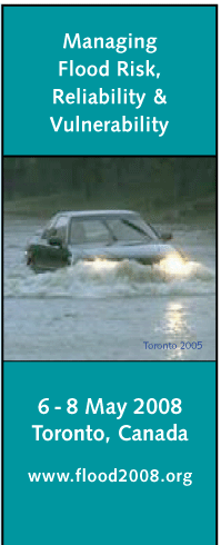
West Don Lands Flood Protection
In 1980, the Toronto and Region Conservation Authority identified the Lower Don as its number one flood risk site due to the extent of flooding and the number of structures and infrastructure impacted under the Regulatory flood. The regulatory flood is defined by the Province of Ontario as the flood under which its flood hazard policies are to be implemented. In this are of Ontario, the rainfall associated with the remnants of Hurricane Hazel as it passed over the region is used to define this flood. Within the Lower Don, existing infrastructure and past lake filling results in a wide expanse of potential floodplain and therefore creates long term risk and planning issues which must be dealt with.
Current planning initiatives also are looking to change existing land use thereby increasing the potential for flood risk. To allow for a revitalization of this area including changes in land use, permanent flood protection must be provided to eliminate risks related to flooding under the existing provincial policies.
|
 |
The Flood protection works underway within the West Don Lands area are designed to deal with removing existing flood risk from an area of some 210 hectares allowing for the redevelopment of close to 30 hectares of these lands presently flood prone. A number of flood protection components are required, including the widening of an existing rail line bridge over the river and the construction of a large earthen berm known as a Flood Protection Landform. Additional minor works including some changes to a utility bridge to improve local hydraulic conditions and continued downstream dredging are also components To date, the rail bridge widening has been completed, construction of the berm is underway , planning to improve the utility bridge has begun and downstream dredging within the Keating Channel continues.
Tour begins at 1:00 p.m. at the Westin Harbour Castle Hotel – Room: Dockside 1
1 hour presentation by:
Donald R. Haley, P.Eng.
Water Management Technical Advisor
Resource Science Section
Following the presentation guests will board a bus picking up in the front lobby at 2:00 p.m. Return to hotel at approximately 3:15 p.m.
Must be pre-registered to attend.
|